Our Services
Comprehensive aerial solutions for modern agriculture—from precision spraying to advanced mapping and analysis.
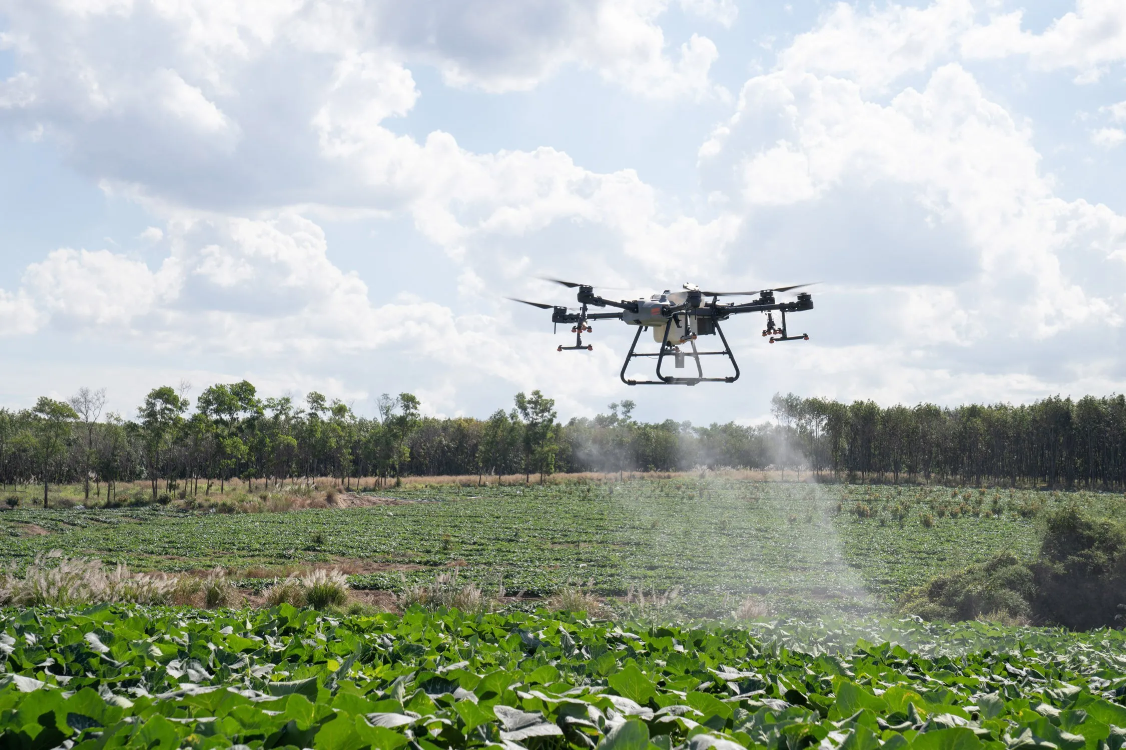
Drone Crop Spraying
We provide application of pesticides, herbicides, and micronutrients using precision drones that minimize crop disturbance and soil compaction.
Fertilizer Dispersion
Our precision aerial fertilizer dispersion service delivers nutrients exactly where your crops need them, maximizing efficiency and minimizing waste.
Aerial Mapping & Analysis
We capture high-resolution maps for acreage measurement, stand counts, and crop-health insight to inform treatment plans.
Service Area
We primarily cover central and eastern North Carolina. Contact us for availability in surrounding areas.
About Our Approach
Comprehensive Service Packages
Our service packages are designed to meet growers where they are. Whether you need crop spraying, field mapping, fertilizer dispersion, or a combination of services, we offer flexible engagements that can scale with your acres and timelines. We schedule around your field conditions and coordinate with retailers and agronomists to ensure optimal results.
Precision Spraying
For spraying, we configure droplet size, flight paths, and swath overlaps based on product, growth stage, and drift considerations. Our operators monitor wind, temperature, and humidity to keep applications within target parameters. When weather doesn't cooperate, we communicate quickly and reschedule to protect product efficacy and crop health.
Mapping & Analysis
Mapping and analysis services include acreage confirmation, stand counts, emergence checks, and targeted scouting. We deliver imagery and findings in easy‑to‑share formats so you can review with your team, consultants, or landowners. These deliverables help prioritize fields, validate outcomes, and document work for future seasons.
Fertilizer Dispersion
Our precision fertilizer dispersion service uses advanced GPS-guided systems to apply nutrients with centimeter-level accuracy. Variable rate technology allows for site-specific applications based on soil test results and crop health data, ensuring optimal nutrient placement while reducing input costs.